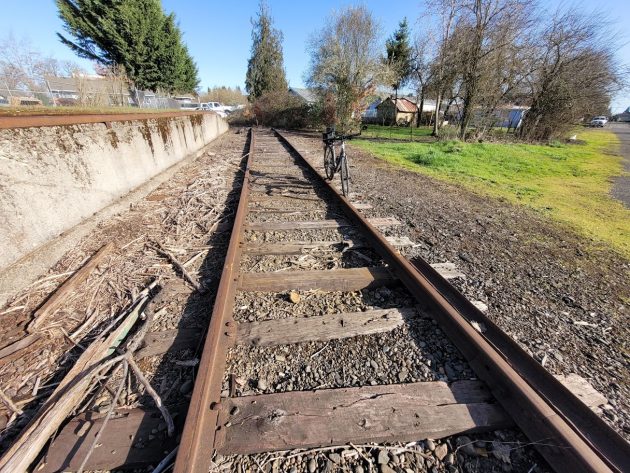
More than a hundred years ago, trains moved east out of Albany on this track, which now ends short of Hill Street.
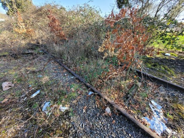
If it was up to me, they’d put a historical marker on the rusted railroad track that runs from the Albany yard past Crabtree Automotive and ends in the bushes before it gets to Hill Street.
I’ve written about those old rails before, more than once. They’re accessible via a stub of Madison Street north of 12th Avenue. Sometimes rail cars are stored there, but often the track sits empty.
That track is of interest — to me anyway — because it’s what’s left in Albany of the Oregon Pacific Railroad, which once stretched from Yaquina Bay on the coast to Idanha in the Cascades.
Bob Melbo, the rail planner for ODOT and an oracle when it comes to Oregon railroad history, refreshed me on the Oregon Pacific when I asked him about that track.
The track near Hill Street, he wrote in an email, is the only portion remaining of the Oregon & Pacific section that ran from Albany to Shelburn, an old junction near Scio.
“The remainder of it has been lost to history,” Melbo wrote, ”but its legacy still survives.”
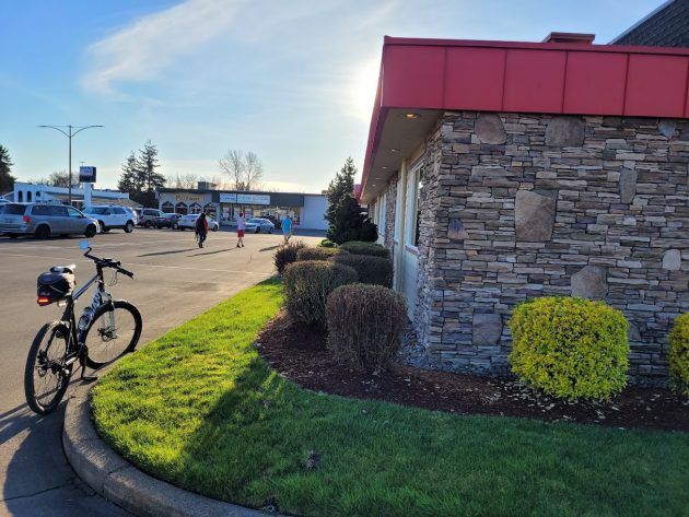
It survives in some property lines that bordered the track in the 19th century when it was built. For example, Melbo pointed out, the Sizzler restaurant on Santiam Highway is built at an angle because it lies along the former right of way.
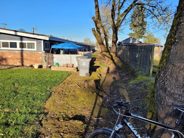
A little way to the northeast, one wing of the Wedgewood Apartments on Waverly Drive follows the line once marked by the tracks.
Farther to the east, near Knox Butte Road, you can still make out the old railroad grade on Google aerial maps based on the pattern shown by trees.
Railroad builders once had hopes of extending the Oregon Pacific across the Cascades to Eastern Oregon, and connecting from there with a transcontinental railroad in Idaho. If it had happened, Newport might have become Oregon’s main port on the Pacific.
The Oregon Pacific, Melbo told me, eventually became the Corvallis & Eastern and then was absorbed by the Southern Pacific, which abandoned the Albany-Shelburn section of track in 1929.
After Melbo mentioned the buildings along the old right of way, I took a bike ride Monday evening to take a look.
Behind the Sizzler restaurant, the area bordering the former railroad track serves as storage for dumpsters and other stuff.
At the apartments, on 825 Waverly S.E., the patios behind the south wing back up to what looks like the old right of way.
Old abandoned railroad tracks tend to disappear, leaving only faint traces. Unless somebody points them out, you’d never know where they once they had been. (hh)

The Sizzler restaurant’s front; its back property line follows the old Oregon & Pacific right of way.

You can kind of visualize the former railroad right of way behind the Wedgewood Apartments.

This is the end of what remains of the Oregon & Pacific’s old Albany-Shelburn track.


Greetings, Hasso. If you go out Kampf Drive east of Knox Butte and turn onto Cyrus Drive and continue until it crosses some nameless creek, you can find the bridge supports for a former railroad bridge still in the water of that creek.
Seems that part of Periwinkle Creek Bike Path covers-up the track-way east of Hill St. Makes up about 40% of the way to Sizzler. Imagine a bike path all the way to Shelburn :-).
Where did the tracks cross the South Santiam River? On Google Maps (not aerial view) there’s a land connection over the South Santiam at the point where it runs into the Santiam, but nothing I could see in the aerial.
65 years ago I would hunt Pheasants along the grade in Knox Butte where I grew up.