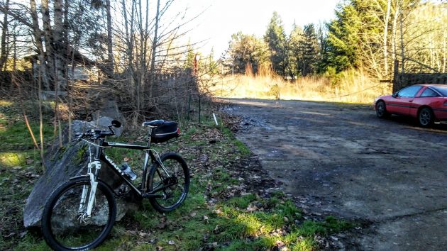
On Monday my bike and somebody’s car mark the entrance to the old Permawood site, where the city of Albany has again approved plans for 120 apartments.
The Albany city planning staff Monday approved — again — a site plan for “The Banks,” a 120-unit apartment complex just east of Bowman Park on the Willamette River.
It was not a surprise. The developers, Salem-based Willamette River View Holdings, earlier got the planning staff to OK an expansion to 120 units of their previously approved 105-unit plan. The planning commission, though, denied that change as a “modification,” saying it was really a new plan.
So the developers filed the same thing as a new plan, and now the planning staff has again said fine. According to a lengthy staff report, the development meets all the “approval criteria” of the city’s development code and related regulations for protection of the Willamette Greenway and development in a potential flood zone.
The plan calls for eight three-story apartment buildings and a clubhouse, plus 218 parking stalls and open areas, on little more than six acres bounded by the river, Geary Street, Linn Avenue, and Chicago and Alco streets.
All the living spaces would be at least 1 foot above the “base flood elevation” of 200.1 feet, but some of the parking spaces would be lower. The neighborhood has pointed out the flooding potential. The applicants counter that since flooding occurs gradually, apartment residents will have time to move their vehicles to neighborhood streets.
On its website, the city’s planning division published its decision to approve the site plan Monday at the same time it published the fact that it had received River View’s application on Nov. 19. It did notify property owners within 1,000 feet of the application at the time and got five written objections in response.
If no one “with standing” asks for a public hearing by the planning commission by Jan. 7, the staff’s decision to OK the plan will be final “without further notice.”
For some reason — and I can’t remember what it was — this former industrial site along the river was rezoned for apartments in 2001 and 2002. What’s happening now is the result of the decision made back then. (hh)


I am still wondering how this development will affect internet and phone reception for this area. Mine is a weak signal for internet here and phone calls drop occasionally. Talking with Verizon, AT&T and T-Mobile our area does not have good reception in this part of town.
Was this hub city concrete or some other concrete/sand and gravel property?
This is the most willy nilly use of land since I came to this berg in Nov ’71. To cram that many people in that portion of land w/o proper infrastructure support – properly made streets, traffic signals, street run off & sewers is an example of our silly ninny Council & it’s planning lap dog. What happened to our citizen’s right of river access? Would you want this humongous building in your yard??