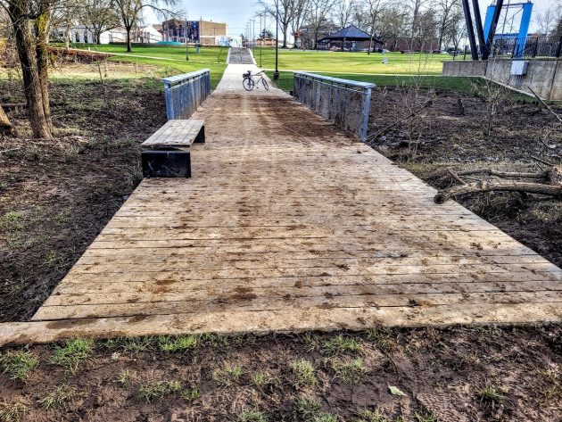
Looking up at Monteith Riverpark across the short boardwalk on Thursday, Jan. 23, 2025.
Being under water for a few days toward the end of December apparently did not damage the short “boardwalk” at the bottom of Albany’s Monteith Riverpark.
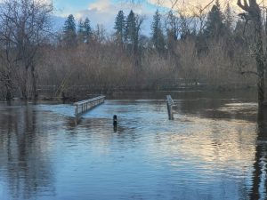
High water flowed across this feature of the rebuilt and remodeled park before and after Dec. 29, 2024, when I took this photo on the right.
If you were worried that the new walkway might be carried away during the seasonal flooding, you were worried needlessly.
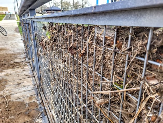
I took a closer look on a bike ride through the park on Thursday. Except for a thin layer of mud on the planks, and debris caught in the gratings that make up the sides, the boardwalk seemed in fine shape.
The boardwalk is about 50 feet long. During the dry season it gives access toward the riverside brush and, through the brush, to the banks of the Willamette and Calapooia rivers. This winter, it leads mostly to more mud.
People have walked that way, though, and then tracked the mud up the concrete pathways of the park on their way back. (hh)

The wire mesh of the boardwalk railing acted as a strainer during the high water.


Everyone in my class at Sr. Center, except me, said, when the park was being remodeled, “Oh, the water would never get as high as the new stage.” That flood we just had wasn’t even a bad flood, and I don’t think the river actually got to the “official” flood stage.
Can we just breathe a minute and give water damage a chance to accumulate over time!
Year after year.
Just like the damage being done by MAGA(t)s today, tomorrow and the few years ahead.
Yes, much better that we remain second-rate, no sense in being GREAT.
The flood height is easy to answer-did it flood in 1996.
I am thinking that using composite decking in the lower area of that area would be a better option when the ‘riverwalk’ is under water.
I’m pretty sure that’s what they did. The planks there don’t look like wood.