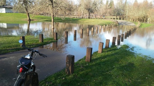
This is a blog largely about what I happen to see around Albany, and this week it was hard to miss that a bit of flooding had returned to Bryant Park, and Bowman too.
“Flooding” is too strong a term. The Calapooia and Willamette rivers had risen high enough on Tuesday that their waters were backing up into a low spot at Bryant. This happens every winter if there’s the usual amount of rain.
Actual flooding does not become a concern until the river level at Albany hits 25 feet. The level was at about 14 feet on Tuesday afternoon. By Friday night it had gone down to about 12 feet. In case you’re interested, and even if you’re not, at 12 feet on the Albany gauge the Willamette flows at a rate of about 28,000 cubic feet of water per second.
All this I got from the National Weather Service’s website here.
If the rain keeps up — and on Friday it resumed after a mostly dry Thursday — our riverside parks will likely look like this for a while. (hh)

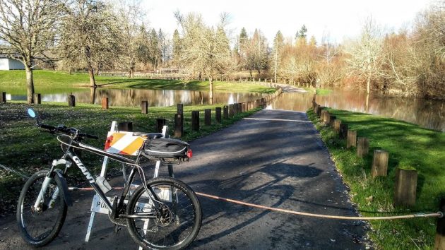
Cables block the entrance and exit of the lower Bryant Park loop when the water gets high.

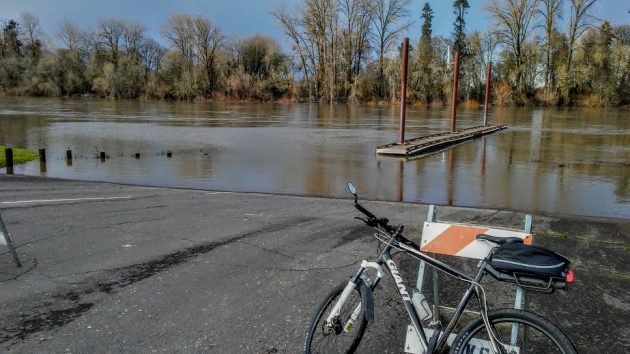
At Bowman Park, using the floating dock meant having to wade — not advised in that murky water.


‘Ole Man River will & does have his way on “His” river no matter what we may do to alter it. And to think the City Council is spending $2.3 million for a study on how to beautify our riverbank to rival the Riviera! Meanwhile, in the core of downtown 3rd, 4th, 5th, 6th Streets crumble owing to lack of action. Ya won’t be able to drive on that gold plated riverbank when done.
I remember when the 4-H/FFA Fair was held under the old pavilion that used to be in Bryant Park. Also remember one year that, after the water receded there was a log perched precariously on top of the restroom on the north side of the park.
FYI, for the younger folks, there used to be a covered bridge on 3rd street that crossed the Calapooia. On the north side of 3rd just as you reached the bridge stood an ice house and cold storage facility.