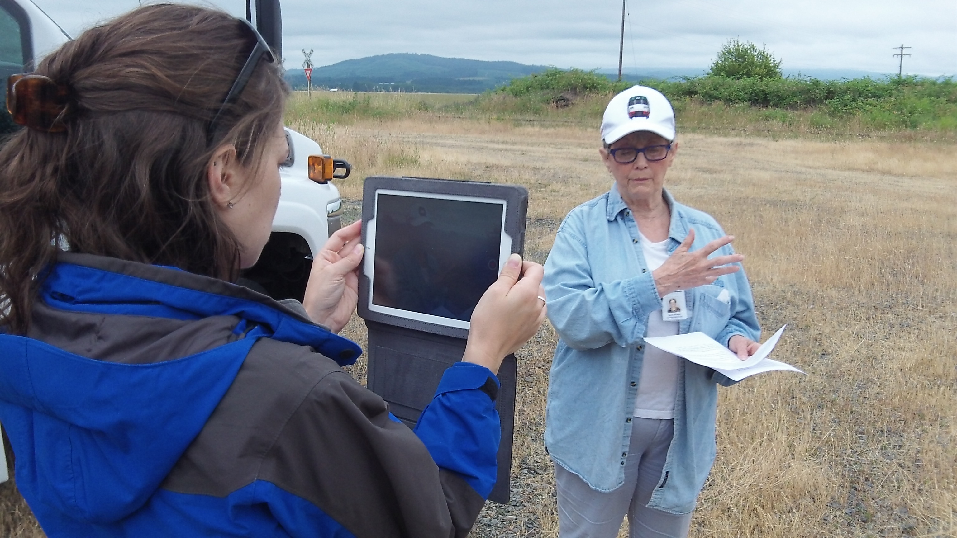
Benton County Commissioner Linda Modrell talks about the Bailey Line on a tour last week.
Benton County says most of the suggestions it has received so far about what to do with the old Bailey Branch railroad line can be arranged into five options. To my mind, the only ones that don’t make sense are to break up and sell off segments or to do nothing with the corridor until it might some day serve as a railroad line once again.
Here are the five options as summarized by Rick Osborn, the county commissioners’ public information officer. I’ve numbered them for the sake of convenience:
1. Railroad Use Only: Preserve and manage the corridor, as determined necessary and feasible, to only allow for future restoration of freight, passenger or excursion rail;
2. Develop Trails: Develop and manage walking, biking or riding trails within the highest priority locations of the corridor;
3. Maintain Current Condition and Uses: Complete minimal maintenance and existing public uses within the corridor;
4. Transfer of Corridor Location: Exchange the railroad corridor land ownership with private landowners, for equal land area that is in closer proximity to the current public right-of-way; and
5. Selling, Leasing, Granting Easements and Authorizing Work: Evaluate and complete sales or agreements where requested by adjacent landowners and other organizations.

Comments on the Bailey Line will be taken at Monroe’s fine new library on July 8. (A Corvallis meeting is set for July 10.)
Nos. 4 or 5 make little sense in view of the rationale the county used to buy the corridor: To preserve it for rail use at some future time. No. 1 would work for that, but it would also be a shame to let 18 miles of land sit there without any use for a long time, which likely means forever. (I love railroads as much as the next person — much more than most, I dare say — but I cannot envision circumstances in which any public or private party would spend the money necessary to see trains rolling up and down that corridor again.)
That leaves Nos. 2 and 3, which boil down to some of kind recreational use of parts or all of the land. I can see the possibilities. With even a rudimentary trail, the corridor could become a popular excursion route from bike-minded Corvallis to Monroe and from there up into the foothills of the Coast Range. It would make an easy 36-mile roundtrip on a bike, and if there were two or three places for lunch or a snack, in Monroe probably, so much the better.
I’ve heard that tourists drive to Cottage Grove or Vernonia just to use the rail-trails there. If Benton County had a facility like that, perhaps tourists would come here instead. (hh)
Public meetings to gather comments about a “strategy” for the Bailey Line are scheduled as follows:
Monroe: 3 to 6:30 p.m. map gallery and 6:30 to 8 p.m. facilitated meeting on July 8 at the Monroe Public Library, 380 North Fifth St. (Highway 99W), in Monroe.
Corvallis: 3 to 6:30 p.m. map gallery and 6:30 to 8 p.m. facilitated meeting on July 10 at the Corvallis-Benton County Public Library, 645 NW Monroe Ave., Corvallis.

Rick Kappler left a comment on Facebook: “Rails to trails projects are needed in the Willamette Valley!”