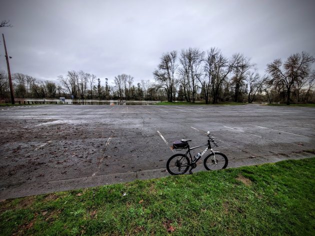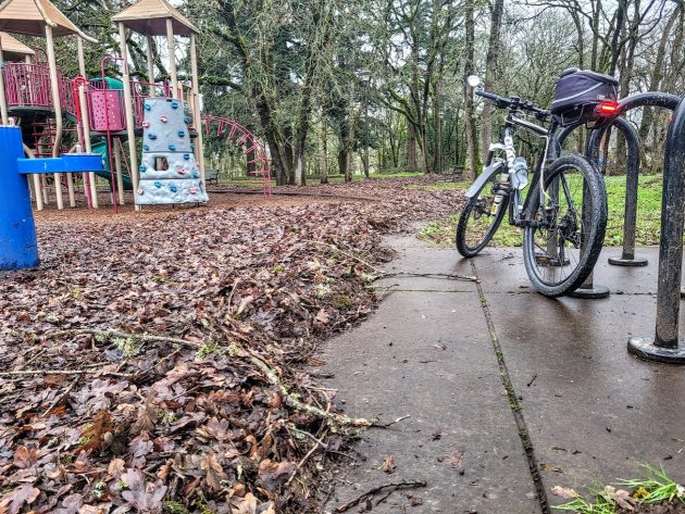
At Bowman Park on Sunday afternoon, Jan. 5, 2025: Closed to cars, but bikes got in.
On Sunday I took a few minutes to wander around the completely empty parking lot at Albany’s Bowman Park. No reason, except that the park was closed to vehicles because of high water a few days ago.
Here’s the report:
The level of the Willamette River had gone down a bit by Sunday, and except for a few puddles the parking lot was dry.
As of 6:30 p.m. Sunday, the Willamettte’s level on the Albany gauge was 18.59 feet, and the river was flowing at 55,000 cubic feet per
second.
That was well below the “minor flood” level of 25 feet, or even below the “action level” of 21.5 feet.
With dryer weather in the offing, the National Weather Service forecast a decline of the river level over the coming week. Chances are Bowman will be reopened to cars pretty soon.
In the meantime, you can reach it on two wheels or on foot. (hh)

At nearby Eads Park, though, walking or riding on the path would have been a challenge.


My husband and I walked through Monteith Park today at 3:15 and were surprised by the number of people. It was very nice weather for a January day, mild temps with no wind or rain. We then drove over to Bowman Park and walked to the boat launch area. Only three young people sitting down there. Very quiet. Just something relaxing about looking at the river.
Thanks, Hasso, for the update on what is going on with the Willamette River and the parks.
Perhaps Bowman Park remains closed because a railcar containing agricultural chemicals is submerged in the Marys River a few miles upstream.
No, that has nothing to do with it.
I believe the flooding at Bowman has alot to do with how the river has gotten so much shallower than it’s ever been. In the early 1970s, I lived at the far west end of Front St. I was going to grade school at Madison School at the time and spent alot of my time down wandering down there fishing. There was no park back then and Geary St. was a gravel road. With only a small footpath to get down there and dodging the Hub City trucks, id manage to get to the river. Id sit on the big rock next to where the boat launch is and consistently catch big rainbow trout ans salmon all day long. Saturday mornings we’d watch the speedboat races there and I remember always seeing a dredger going back and forth dredging the river, mainly because all the debris and sediment would settle there before the water would start flowing uphill to get out of the valley. It ran faster back then because they kept it deeper by dredging it. Thy quit dredging it before the 2nd bridge went up downtown, and since has filled in so much that it’s quite shallow now, creating the flooding we have down there these days. It really shows ay Bryants Park now. I do remember a drought one year when there was only a 3 ft. wide trickle flowing through the valley. It was a nice clean flowing river with lots of big fish in it back then. On the rare days when fishing was slow, we’d go to Periwinkle Creek at the big dip in the road and fill up buckets with big crawdads under the fallen barn. Anyway. I believe the flooding is due to the shallower water an slower flow it created.. there was never a flooding problem when they dredged it. But there was an occasional drowning due to the faster water creating undertows…and the fishing was great…